The Coastal Hazard Wheel App
Operational access to the global reference framework
The Coastal Hazard Wheel (CHW) App is a freely available web application that makes the Coastal Hazard Wheel reference framework operational and accessible. It supports policymakers, planners, practitioners, and researchers by providing a consistent, screening-level basis for understanding coastal environments, hazards, and relevant adaptation options across the world’s coastlines.
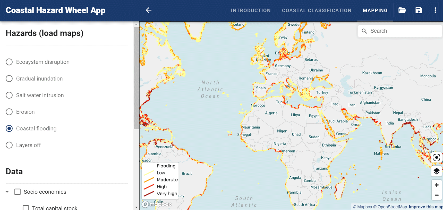
The App provides global coastal classification outputs (at a detail of approximately 200 metres for site classification) and screening-level hazard mapping (at a detail of approximately 500 metres). Outputs draw on the best available global geodata from remote sensing, observations, and modelling, combined with the CHW classification and hazard logic.
The CHW App is intended to support hazard screening and early-stage coastal planning, as well as communication and comparison across locations and stakeholders. It complements—rather than replaces—local expertise, site-specific studies, engineering design, and formal decision-making processes.
Continuous development
The CHW App is undergoing continuous development as improved global datasets and additional scientific components become available. Development focuses on strengthening the App’s ability to support consistent classification, hazard screening, and the structured linkage between coastal types, hazard profiles, and basic, relevant adaptation options.
Over time, the integration of additional datasets and AI-assisted components will enable more detailed and context-specific guidance, while maintaining transparency and the role of expert judgement.
Access and contact
The Coastal Hazard Wheel App can be accessed here. For technical questions, collaboration, or information on ongoing development, please get in touch.